Quick Answer
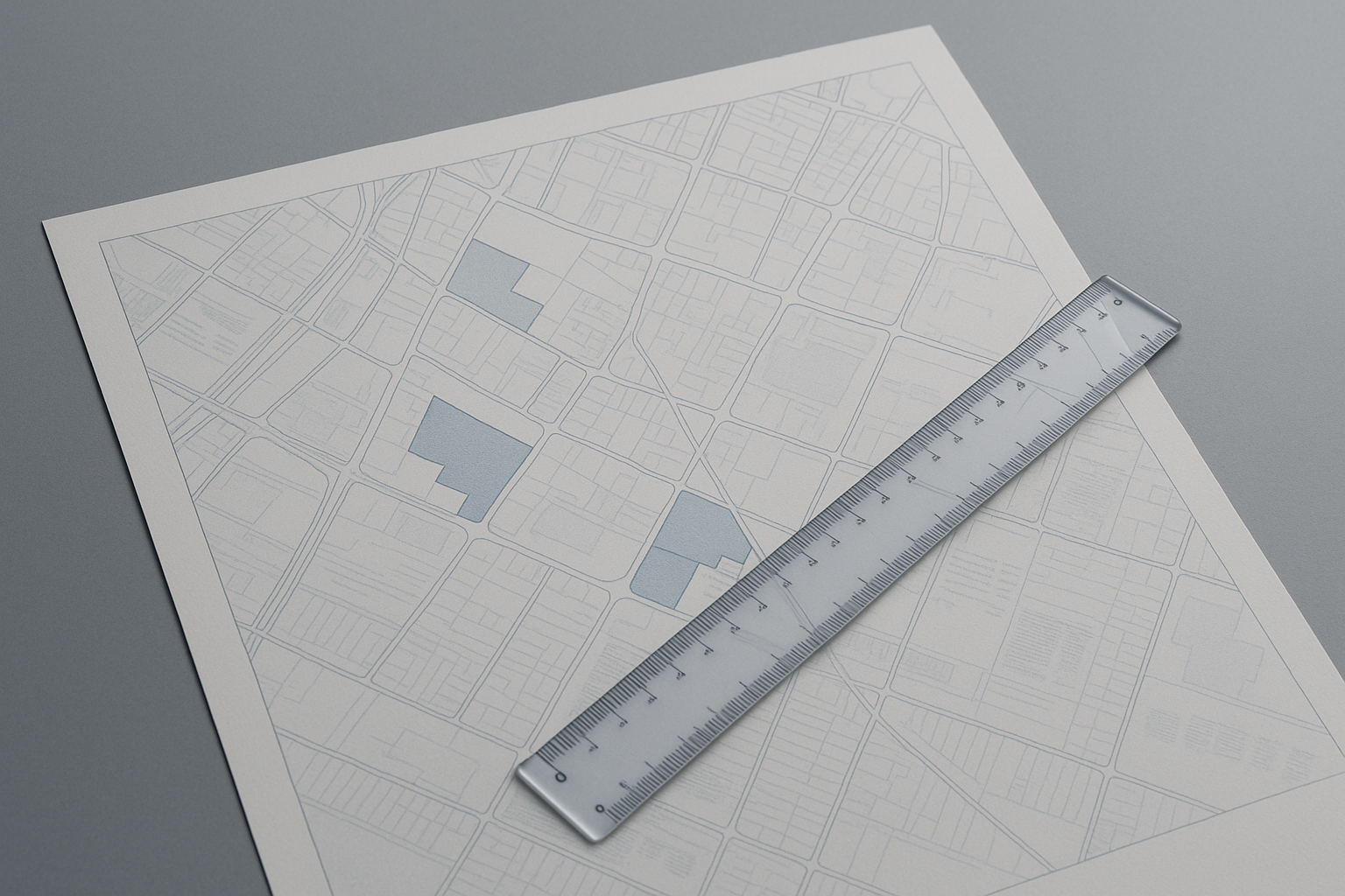
Different signals about a BC strata’s surroundings—like transit, schools, hazards, amenities, and planned development—each have their own natural search radius. Walkability and noise are hyper-local; school catchments are set by boundaries; hazard and infrastructure zones are mapped at the city or regional scale. Reading neighbourhood data well means matching the right radius to the question you’re asking.
Why Search Radius Matters for Neighbourhood Data
Search radius is the invisible frame around any building that shapes what public data tells you. For walkability, people care about doors within a few blocks. School catchments may cross blocks in odd ways, regardless of how close a school is physically. Floodplains or wildfire zones can stretch across neighbourhoods.
Using the wrong search radius can blur what matters: a park two blocks away matters for daily life, but a sewage upgrade 1 km away may only be relevant if it will someday serve the building. Each data type asks for its own map.
How to Read Transit Access and Expansion Plans
Transit is hyper-local for stops but regional for future upgrades. A bus stop within 400–500 metres (about a 5-minute walk) is usually considered ‘close’ in urban BC. SkyTrain, West Coast Express, or RapidBus access can define a building’s resale appeal, especially in Vancouver, Burnaby, or Surrey.
Transit expansion plans—like a new SkyTrain extension—can shift values and daily life far beyond the immediate station area. Check municipal and TransLink planning maps for confirmed routes rather than press headlines, and compare how projects may affect commutes or noise for years to come.
School Catchments: Boundary Versus Proximity
School catchments are not circles drawn from a building—they are boundary lines set by the school district. A building might be closer to one school but be assigned to another. Always check the latest catchment maps, especially in areas like Coquitlam and Richmond where catchment boundaries can move with new development.
For families, walking distance matters, but formal catchment determines eligibility. Remember that private and specialty schools operate separately from catchments, with their own admissions rules.
Hazard Zones: Reading Flood, Seismic, and Wildfire Interface Data
Hazards like flooding, earthquake risk, or wildfire interface are mapped at city, regional, or even provincial scales. In the Lower Mainland, floodplain maps and dike locations are public; for Richmond or low-lying New Westminster, check city GIS sites. On Vancouver Island and in the Okanagan, wildfire interface maps matter more.
Hazard data can change with new assessments or climate modelling. Always check the latest public sources to confirm current hazard maps, and consult your insurer or regional government if a property falls near a hazard edge.
Amenities, Crime, and Development: When Granularity Is Key
Amenities like grocery, library, and parks are felt within a 300–800 metre radius—walking distance for most. For amenities, the lived experience is often more telling than a raw count, but tools like city open data portals can help you see what’s nearby.
Crime data, from police or city dashboards, needs careful reading: boundaries are drawn by reporting area, not by street or block. Context matters—seasonal spikes and population density both play a role. Recent rezoning or development applications are tracked at city hall and can signal change over several years. Check city and regional planning department websites for current development maps.
For a practical approach to layering this data, see How to Read Public Data About Hazards, Transit, and Amenities Around a BC Strata.
Demographic Change and Infrastructure: Signals of the Next Chapter
Demographic shifts—like age distribution, household type, or new immigrant settlement—are reported by census tract, usually covering a few city blocks. This helps buyers see if an area is changing rapidly or is long-established.
Infrastructure upgrades or offerings (e.g., new hospital, expanded water or sewer lines) are mapped by the city or utility, often at a scale larger than a single neighbourhood. These projects can change development patterns and future service levels. For buyers, confirming planned infrastructure with city engineering or planning departments can give a sense of what’s ahead.
Frequently Asked Questions
How do I find the current school catchment for a building?
Check the local school district’s website for updated digital catchment maps. Boundaries can shift, so always confirm with the district office.
Where can I check current flood, seismic, or wildfire hazards?
Municipal or regional governments publish up-to-date hazard maps online. You can also contact city planning or emergency management offices for guidance.
How accurate is walk score or transit score for BC properties?
Walk and transit scores show proximity, but they don’t account for hills, barriers, or actual walk paths. Always visit the area or use official city maps for detail.
How do I interpret crime data for a neighbourhood?
Crime data is grouped by reporting area and can be affected by population, season, and changes in reporting. Use official police dashboards and compare over time, not just by block.
Can I see future development or rezoning plans for a neighbourhood?
Yes, most BC municipalities publish interactive development and rezoning maps online, showing both pending applications and recently approved projects.
Conclusion
Neighbourhood data is powerful when you calibrate your search radius to the question—whether you’re weighing transit access, school eligibility, hazard risk, or future amenities. Remember that every signal is on its own map: use public sources, check boundaries, and revisit the data as it updates. While SearchStrata is focused on building-level strata documents, once you’ve narrowed your search, you can look up any BC strata building for free to see what’s on record—and pair it with your neighbourhood research for a full picture.