Quick Answer
The area around a BC strata building—its transit, schools, hazard zones, amenities, crime patterns, infrastructure, and upcoming developments—shapes life there as much as the building itself. Public data can reveal both the current state and the changing dynamics of a neighbourhood. To read it well, match the search radius and data type to the question—school catchments, for example, differ from floodplain maps or transit lines—and always check the latest official source for specific, up-to-date information.
Why the Neighbourhood Matters as Much as the Building
A strata unit’s value and liveability are deeply affected by what surrounds it, not just what’s inside its walls. Transit access, school boundaries, nearby developments, and even infrastructure upgrades can quietly change both your everyday experience and long-term property value. In fast-growing areas like Surrey or Burnaby, neighbourhood shifts can be as important as the condition of the building itself.
Unlike a building’s structural state, neighbourhood factors shift faster and aren’t always visible from a walk in the area. Buyers and realtors need to dig into public data to understand what’s present now—and what’s likely on the horizon.
Transit Access and the Pace of Change
Transit is one of the most visible—but also most rapidly changing—signals around a building. In Metro Vancouver, SkyTrain expansions, rapid bus connectors, and planned stations can alter commute patterns and local density almost overnight. Always check the latest route maps and expansion plans from TransLink or the local transit authority.
Remember, walk distance to transit is best measured as the actual street walk, not a radius “as the crow flies.” A building’s walk score may climb or drop if new transit lines open or reroute. Planned expansions, like the Surrey-Langley SkyTrain line, may not change things today but can profoundly shift demand and rhythms in a few years.
School Catchments: Boundaries That Move
School catchment areas determine which public schools children can attend, and these boundaries change over time as districts respond to demographics or open new schools. In Coquitlam and Vancouver, planned school openings, closures, and realignments happen regularly—sometimes with only a year’s notice.
To get a true picture, use the local school board’s catchment map instead of just a postal code search. If schools are a major factor in your purchase, confirm both the current catchment and any announced changes directly with the school district, and consider how far that catchment extends from your building.
Hazards: Flood, Earthquake, and Wildfire Zones
BC’s hazard landscape—floodplains, seismic risk, and wildland-urban interface zones—varies block by block. In places like Richmond, floodplain maps matter; in North Vancouver or the Okanagan, wildfire and slope stability can become key signals.
Hazard maps and risk designations are updated over time, especially after major events or regulatory changes. The radius for concern depends on the hazard: a floodplain can cover a wide area, while wildfire interface zones are highly local. Always consult the latest city or provincial hazard maps and ask how risk designations might change in the near future.
Amenities, Infrastructure, and Future Development
Access to parks, recreation, grocery stores, and medical services is best measured by walkable distance—but planned infrastructure projects can soon change what’s truly accessible. In Victoria, sewer upgrades or new community centres can realign neighbourhood energy even before construction begins.
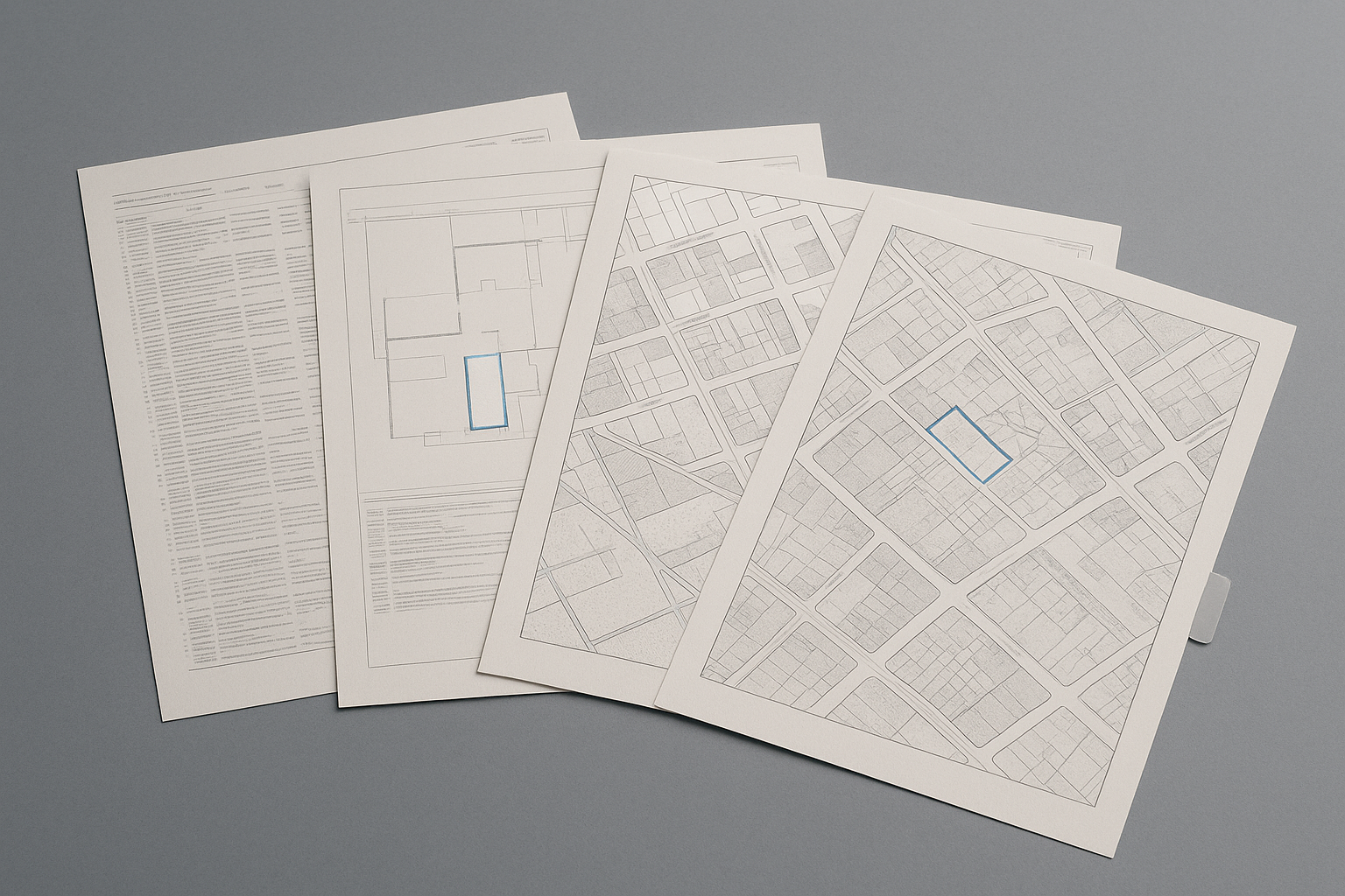
Nearby development applications and rezonings, which cities often make public online, can reveal coming changes: new towers, major retail, or road realignments. Review city planning portals for active and recent applications within a block or two of your building. The right search radius for these signals is usually small—one or two blocks can mean a very different day-to-day experience.
Reading Crime and Demographic Data Without Jumping to Conclusions
Crime statistics and demographic shifts offer important context, but should be read carefully. Crime data in BC is available at municipal and neighbourhood levels, but reporting methods and time periods vary. Always check the latest figures from BC RCMP or local police, and look for long-term trends, not just a single year’s numbers.
Demographic data—age, household type, income, languages—comes from Statistics Canada census releases, usually mapped at the census tract or dissemination area. Neighbourhoods in cities like New Westminster or Richmond can change quickly, so review both the most recent census and city planning reports for announced population changes or shifts in housing mix.
Frequently Asked Questions
How can I find out about planned transit expansions near a BC strata building?
Check the latest route maps and expansion plans from TransLink or your local transit authority, as these are regularly updated for Metro Vancouver and other regions.
Where do I confirm the current and future school catchments for an address?
Contact the relevant school district directly and review their online catchment maps, as postal code searches may not reflect recent or upcoming changes.
How do I check if a building is in a floodplain or hazard zone?
Consult city or provincial hazard maps, which are updated periodically to reflect new risk data and regulatory changes.
Where can I see active development applications near a strata building?
Many cities publish development applications and rezonings online, usually through their planning or development departments, which allows you to see proposals by location.
Is neighbourhood crime data current and reliable?
Crime data is published by BC RCMP and local police, but reporting methods and time periods differ; always review the official, most recent sources and look for trends rather than isolated numbers.
Conclusion
Reading the neighbourhood around a BC strata building is about more than first impressions—it requires matching the type of data to your question, and knowing how quickly things can change. Whether it’s planned transit, shifting school catchments, or new developments, use official maps, city portals, and planning documents to build a picture of both what’s there now and what’s coming. For the building itself, you can look up strata documents and analysis on SearchStrata to make your review both broader and deeper when you’re ready to go beyond the neighbourhood.