Quick Answer
Reading what surrounds a BC strata building means looking at public data signals like transit, schools, hazards, amenities, crime, and development—not just what’s nearby, but how each signal’s relevance changes with distance. Not every factor has the same search radius: a school catchment may be broader than a walkable coffee shop, and flood risk can cover multiple blocks. Reliable, up-to-date sources are key, since neighbourhood signals shift with new infrastructure, rezoning, and demographic trends.
Why the "Right Radius" Depends on the Signal
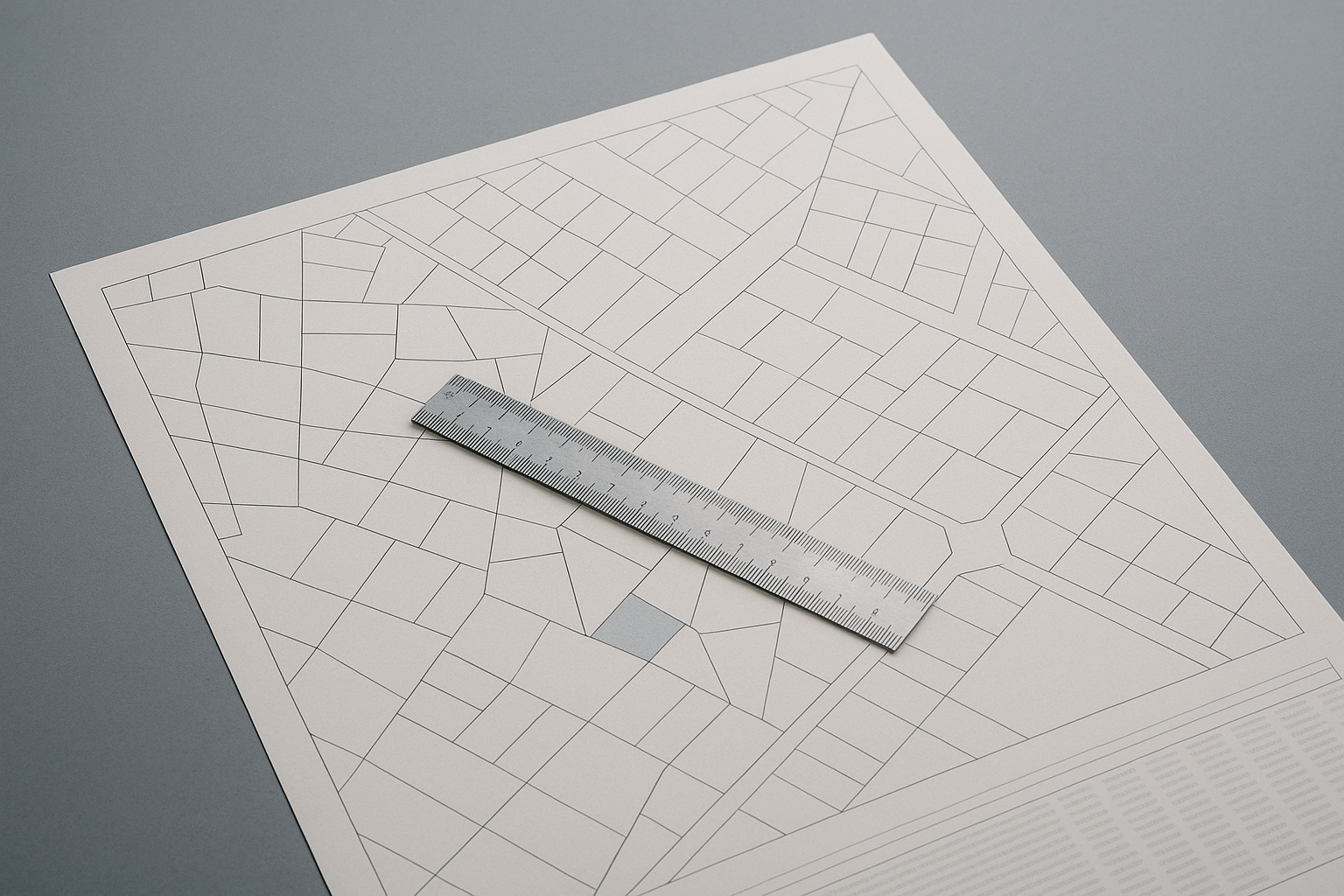
Different neighbourhood signals matter at different geographic scales. School catchments are defined by school boards and often cross neighbourhood lines, while transit walkability might only be relevant within a 400–800 m radius. Flood hazards and seismic zones can affect entire blocks or communities, not just a single building. Amenities like grocery stores or parks anchor daily life, but their relevance depends on whether they're truly walkable. Choosing the right radius avoids misleading conclusions—a school catchment map won’t answer walkability, and a Walk Score won’t reveal floodplain boundaries.
Where to Find and Verify School, Hazard, and Transit Data
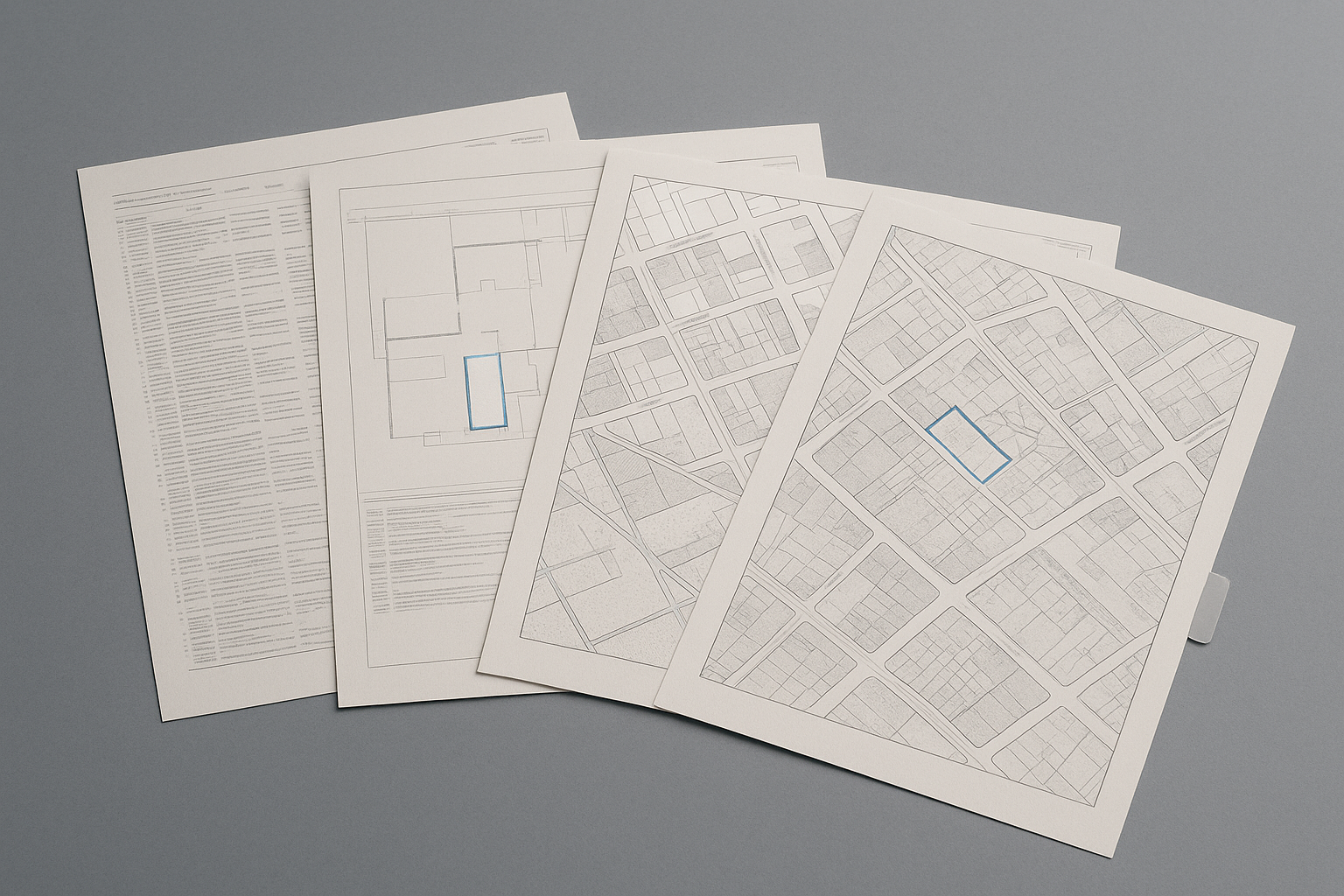
School catchment boundaries in BC are published by local school districts and can shift with population changes. Before relying on catchment or French Immersion availability, check the current map on the relevant district’s site. For hazard data, floodplain and wildfire-interface maps are publicly accessible but must be checked for recent updates—verify through the municipality or province, as boundaries do change with new engineering work or climate adaptation plans. Transit data is available from TransLink (Metro Vancouver), BC Transit (Victoria, Kelowna), and local governments. Planned expansions can dramatically alter access over a few years, particularly around emerging SkyTrain corridors in Surrey or Coquitlam.
How to Read Crime, Amenity, and Demographic Data Honestly
Crime statistics are loaded signals and require context. Many police departments in BC publish neighbourhood-level data, but reporting standards, data lags, and boundary definitions mean trends can be hard to compare block by block. Use these numbers as one piece of a bigger picture. Amenity access—shops, clinics, parks, libraries—can be mapped through municipal open data. Walkability (often cited via services like Walk Score) is a useful filter, but doesn’t guarantee quality or safety of routes. Demographic trends are tracked by Statistics Canada and BC Assessment, revealing shifts in age, household size, or income, but always check the source date.
Why Planned Development and Rezoning Matter
Active development applications, major rezonings, and infrastructure upgrades can reshape a neighbourhood in just a few years. Municipal websites and open data portals show current applications—search for upcoming towers, planned schools, park improvements, or utility renewals near your target building. A quiet street today may back onto a major construction site or new rapid transit hub soon. Reading these changes early means you can anticipate both risk and opportunity, helping to set expectations for the next five or ten years, not just today. For more on following neighbourhood change, see How to Read the Changing Neighbourhood Around a BC Strata Building.
What Public Data Can’t Tell—and Where to Get Help
Public data is powerful, but it has limits. Open datasets can be outdated or miss context, while walk-throughs and conversations with local residents often surface details no map shows. Major infrastructure, noise, or upcoming developments might not be listed until late in planning. Always verify hazard maps and school boundaries with current municipal or provincial sources before relying on them for a purchase decision. When reviewing a strata package, document review platforms like SearchStrata support the process by surfacing key risks from the building’s records—but neighbourhood signals still require direct research.
Frequently Asked Questions
How do I find the school catchment for a BC strata building?
School districts in BC publish official catchment maps on their websites. These maps are updated periodically, so verify the current catchment for your address before making assumptions about school eligibility.
Where can I check if a BC property is in a floodplain or hazard zone?
Floodplain and hazard zone maps are available through municipal and provincial open data portals. Always confirm boundaries and the most recent mapping with the municipality or a relevant provincial authority.
How accurate are neighbourhood crime statistics in BC?
Neighbourhood crime stats give a general sense of patterns but can be affected by reporting differences, data lags, and changing neighbourhood boundaries. Use them as one piece of broader due diligence.
Can future transit expansions impact property value or quality of life?
Planned transit expansions, like new SkyTrain lines, often change neighbourhood dynamics. Check official transit authority maps and municipal plans for up-to-date details on confirmed or proposed projects.
How do I track upcoming developments near a building in Vancouver or Surrey?
Most municipalities, including Vancouver and Surrey, have online development application maps or portals showing current and proposed projects. These are updated frequently and are the best starting points.
Conclusion
No single map or dataset can sum up a BC neighbourhood—each signal has its own scale, update cycle, and blind spots. Reading public data well means knowing which source to trust, how far to look, and what a signal actually means for your daily life and future plans. While SearchStrata helps with the strata package, understanding the area around a building takes a mix of data, context, and verification. If you’re weighing a BC strata purchase, take time to research each neighbourhood signal—and approach every number or map as a snapshot, not a verdict.