Quick Answer
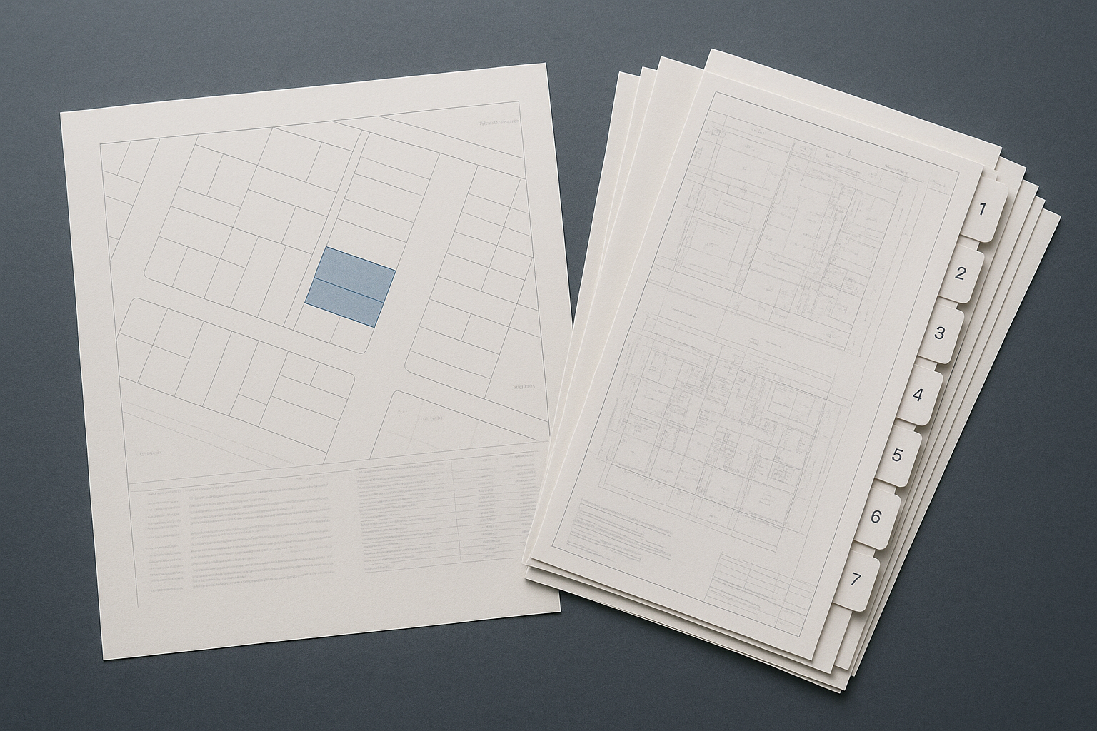
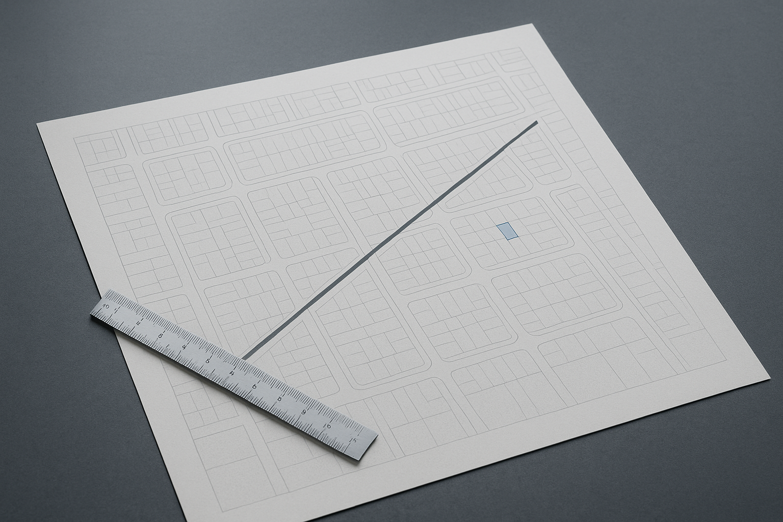
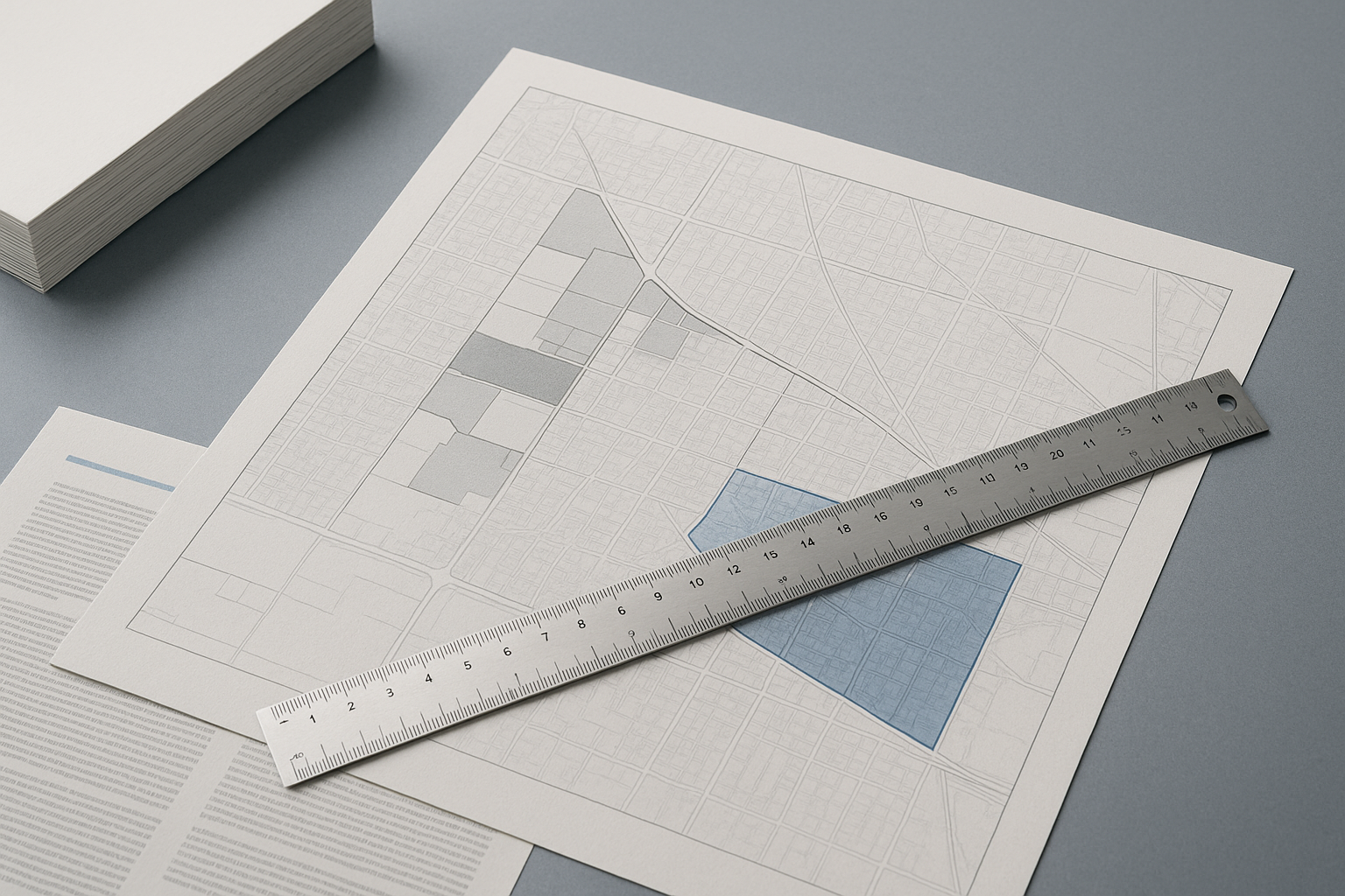
Reading the neighbourhood around a BC strata building means looking beyond walk scores to understand transit, schools, hazards, amenities, crime, and evolving infrastructure. Each signal comes from a different public source and needs a specific search radius—the catchment for a school is not the same as a floodplain or a transit walk shed. Rely on up-to-date sources and avoid judging a neighbourhood; let the facts inform your decision.
Why Neighbourhood Signals Matter for BC Buyers
Neighbourhood signals provide context that building documents alone cannot. For example, being within a few hundred metres of a SkyTrain line in Vancouver can heavily influence value and lifestyle, while a building's proximity to a wildfire interface in the Okanagan shapes insurance requirements. Understanding the surrounding area helps buyers anticipate the lived experience, future development, and potential risks—without making blanket judgments about “good” or “bad” neighbourhoods. Instead, focus on the specific features and change signals that matter for your priorities.
How to Assess Transit Access and Future Expansion
Public transit access is best measured by the walking distance to major lines (like SkyTrain or RapidBus) rather than broad neighbourhood boundaries. In Burnaby or Coquitlam, a 400–800 metre radius from a station typically defines practical access, but check municipal and TransLink maps for current and planned routes. New rapid transit expansions, such as Surrey-Langley SkyTrain, can change an area's appeal and noise profile—verify upcoming projects through city planning websites or TransLink's official updates, not only in marketing materials.
School Catchments and How They Shift
A school catchment zone is a defined boundary—usually set by the local school district—which determines eligibility for enrolment. For example, a strata near the catchment boundary in Surrey may see different demand and demographics than one firmly within a sought-after zone. School district websites publish the latest maps, and planned boundary changes are often discussed months in advance at school board meetings. Never rely solely on agent-provided or listing-site info; always check the official school district source before making decisions.
Reading Hazard, Crime, and Amenity Data—Without Opinion
Hazard and crime data are available from public sources, but interpretation needs care. Flood and seismic risk maps are published by provincial agencies or municipalities; wildfire interface risk is mapped especially in the Okanagan and parts of Vancouver Island. For crime, use the public dashboards from local police (like Vancouver Police Department’s GeoDash) and focus on trendlines and context, not just raw numbers. Amenity access—parks, libraries, pools—can be mapped using the city's open data tools. The right radius depends on the data: a 1 km circle might be right for amenities, but hazards and crime clusters require closer examination of their methodology and reporting period. For more on recognizing and interpreting these signals, see Reading the Neighbourhood: What BC Buyers Need to Know Beyond the Building.
How to Track Development, Infrastructure, and Demographic Change
Development applications, rezonings, and infrastructure upgrades can quietly reshape a neighbourhood’s character and livability. Most BC cities (including Richmond and Victoria) maintain online maps or registries of current and approved development applications—revealing future projects like towers, transit upgrades, or new retail. Infrastructure renewal (like water, sewer, or fibre) is usually listed in city capital plans. Demographic change—age, household types, languages, and income—comes from BC Stats, but always check the vintage of the data and whether it fits your timeline. Each signal should be tracked within the scale that matters (e.g., block for construction, census tract for demographics), and always double-check the latest changes with the official source.
Frequently Asked Questions
Where can I check current school catchment boundaries for a BC neighbourhood?
Most school districts publish interactive catchment maps on their websites. Always verify with the district directly for the latest boundaries and upcoming changes.
How can I find out if a strata building is in a flood or seismic hazard zone?
Flood and seismic hazard maps are available through municipal planning departments or provincial agencies. Consult these sources and confirm details with the relevant authority before relying on the information.
Is crime data reliable for judging a neighbourhood?
Crime data is available from police or city dashboards, but it must be interpreted with caution. Focus on trends, reporting methodology, and never rely solely on numbers without understanding what’s included.
How do transit expansions affect strata neighbourhoods?
New transit lines or stations can change walkability, noise, and property values in the surrounding area. Check municipal plans and official transit authority updates for confirmed projects and timelines.
What’s the best way to track development and future infrastructure in a BC city?
City planning departments publish active development and capital infrastructure projects online. Always check the official city website or contact planning staff to get the most current and accurate information.
Conclusion
Reading the neighbourhood around a BC strata building is about understanding the many signals public data provides—transit, schools, hazard, amenities, crime, development—and using them in the right context and radius. By tracking each factor from its official source, buyers and realtors can build an honest, well-rounded view that supports a confident decision. For the building’s records, depreciation reports, and council minutes, you can look up what’s available for any BC strata building free with SearchStrata, but access to full strata records is a right of the owner or someone authorized by the owner.