Quick Answer
To understand what surrounds a BC strata building, buyers can consult public data sources on transit access and future plans, school catchments, hazard maps (flood, seismic, wildfire), local amenities, infrastructure projects, crime statistics, demographics, and area development. Each data type uses a different search radius—school catchments, for example, are map-defined, while transit and amenities often rely on walk distance—so use the right context for every signal. Check official sources directly for current figures, and look for the story behind the numbers to get a clear picture before committing to a purchase.
What should BC buyers look for in a building's surroundings?
BC buyers should examine transit access, school catchments, hazard zones, amenities, infrastructure, criminal incident patterns, development applications, and demographic trends around a building. Each of these factors can affect your day-to-day life and property value, whether in Vancouver, Surrey, or Victoria. For instance:
- Transit determines commute options and can change as service expands.
- School catchments set eligibility for public schools and may shift with boundary reviews.
- Hazard mapping (floodplain, seismic, wildfire interface) affects insurance and peace of mind.
- Amenities and infrastructure shape the neighbourhood's convenience and future disruption.
Understanding these signals means checking reliable data, not just impressions from a walk or drive-by.
Where do you get public data about transit, schools, and amenities?
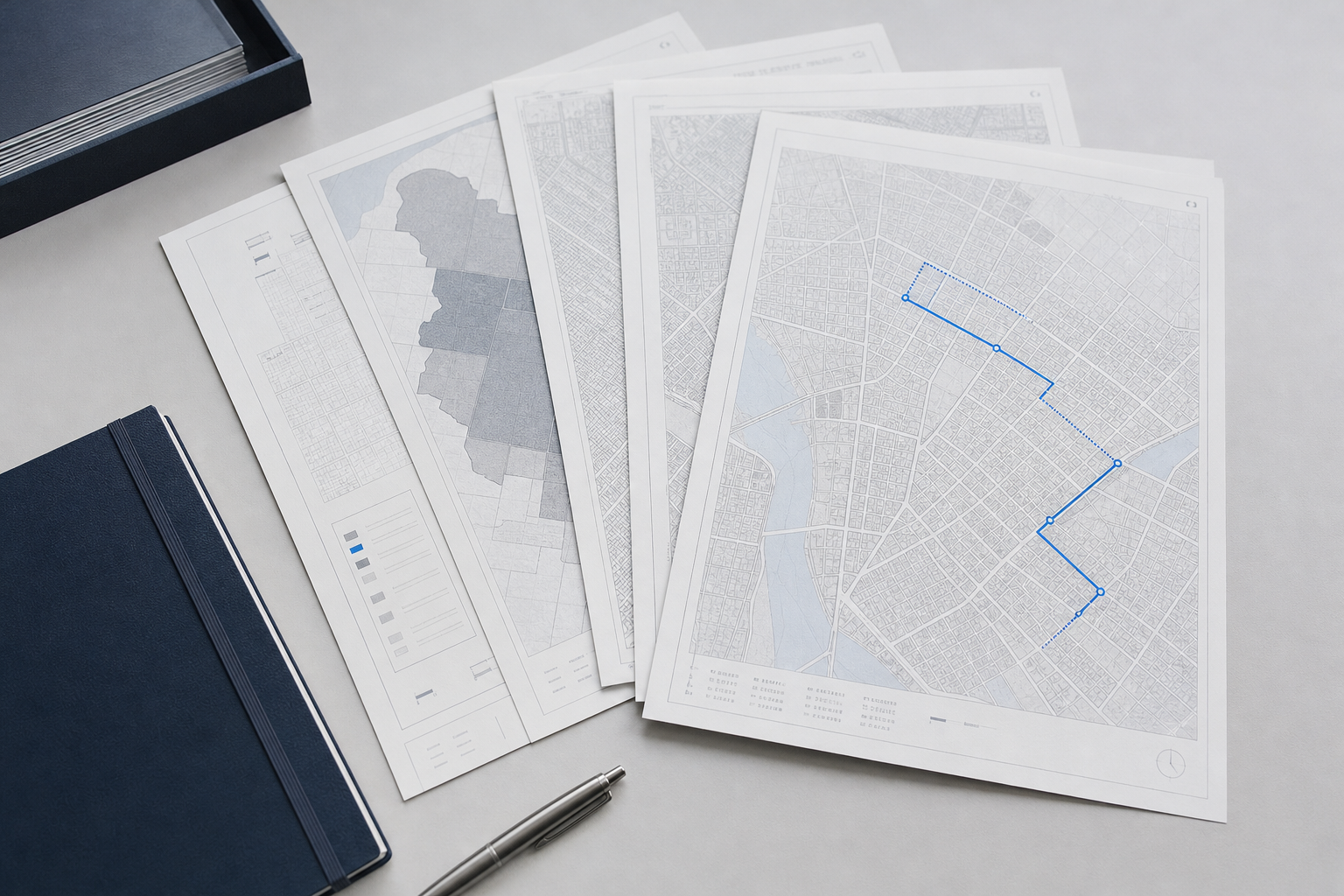
Buyers can find public data on transit, schools, and amenities from official sources such as municipal open data portals, TransLink, BC Ministry of Education, and local school districts. Transit maps show current service and planned expansions—critical in growing regions like the Fraser Valley or Burnaby. School catchment maps, available on district websites, define which addresses feed into specific schools, and these boundaries can be reviewed as local populations change.
For amenities, look up city-maintained maps showing parks, libraries, community centres, and healthcare facilities. Walkability measures (like 'walk score') use a radius, but actual experience may differ, depending on barriers or hills. Always check for updates: a planned transit station or new school may not show up yet on static maps.
How do you read hazard and infrastructure data around BC strata buildings?
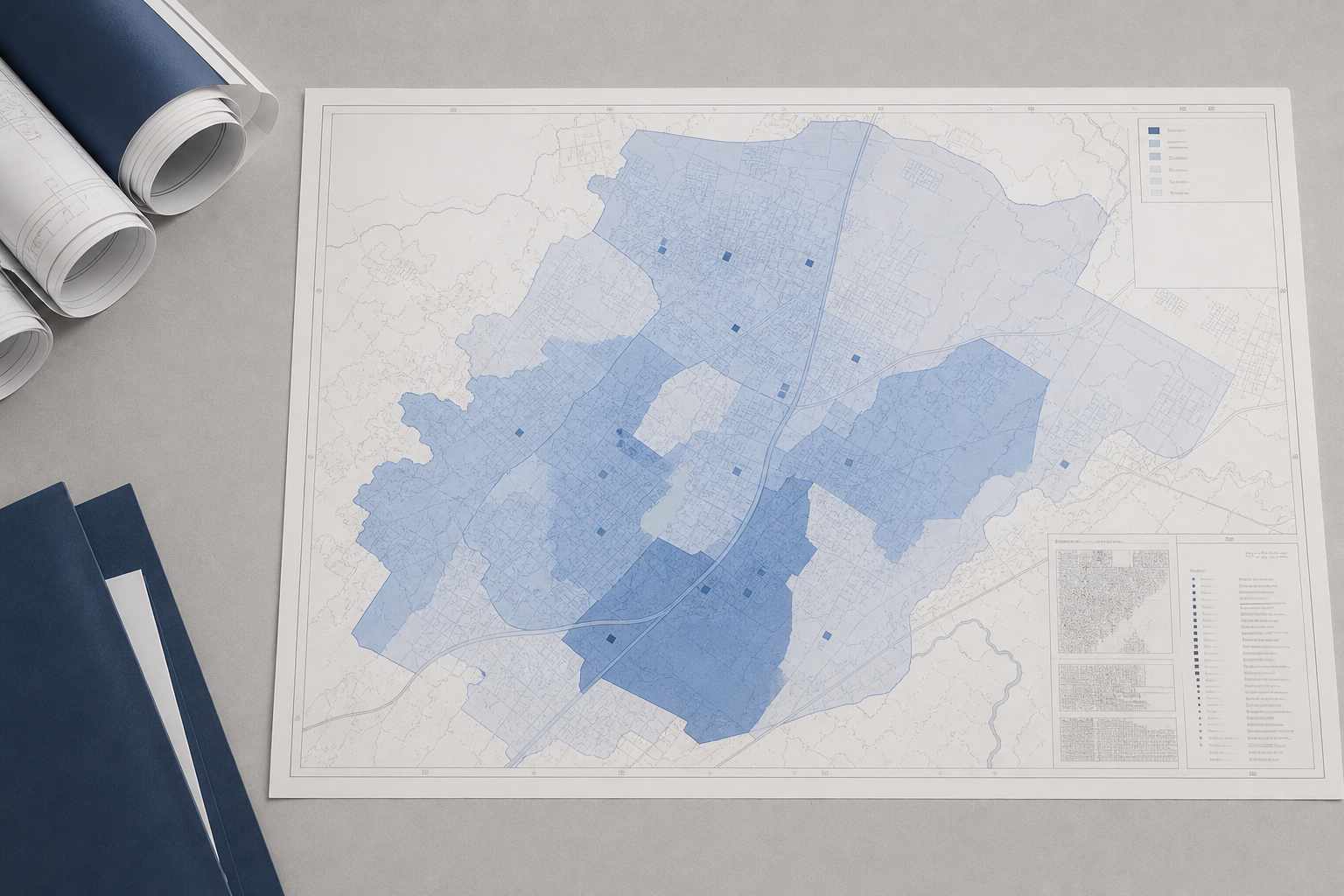
Hazard data such as floodplains, earthquake risk, and wildfire interface is published by provincial agencies and local governments, though the coverage and detail vary. Flood hazard maps will flag low-lying areas in Richmond, while seismic risk maps matter across Metro Vancouver and Vancouver Island. The BC Wildfire Service and local governments provide wildfire interface maps, especially relevant in areas like the Okanagan.
Infrastructure and utility data—planned roadworks, water mains, transit upgrades—are found in city engineering departments or capital plans. These projects can mean future convenience or temporary disruption. Always verify hazard and infrastructure data with the latest maps from government sources, as these risks change with climate patterns and city planning.
How should buyers interpret crime and demographic data for a neighbourhood?
Crime data should be read in context: official police data covers incident reports, but reporting rates, boundaries, and definitions can all affect the numbers. For example, a spike could reflect increased enforcement rather than rising crime. Compare several years and check the map boundaries.
Demographic data from BC Stats and municipal profiles can show age, household income, and population change—but these are usually based on census periods and lag fast-changing areas. Use demographic trends to understand likely neighbourhood shifts, but verify with recent local government sources.
What about development, rezoning, and neighbourhood change?
Development applications, rezonings, and major infrastructure projects are tracked by each municipality, and some cities post interactive maps. These show what's coming—a tower proposal, new retail, or a school expansion in Coquitlam—and their likely timeline. Such changes can affect everything from views to local traffic to school crowding.
Rezoning signs and City Hall notices are signs of area transition but may not be visible online right away. Talk to the city’s planning department if you want the latest. For more on how to spot change, see How to Read Neighbourhood Change from Public Data in BC.
How does the right search radius differ by data type?
The search radius—the area you should check—depends on the data signal. For schools, it's the defined catchment map, not just walking distance. For hazards, check the full risk area, which often includes the building footprint and surrounding blocks.
Transit and amenities often use a walkable radius (400–800 metres), while demographic and crime data may be published by census tract or neighbourhood zone. Review each type of data in its own context. A single block can include several different risk zones and catchment boundaries.
Frequently Asked Questions
How can buyers confirm the latest transit expansions or school catchment changes?
Buyers should check the official websites of TransLink and their local school district for the most recent transit plans and school catchment boundaries. Municipal open data portals often include updated maps.
Where can I find current flood, seismic or wildfire hazard maps in BC?
Flood, seismic, and wildfire hazard maps are published by the BC government and local municipalities. To make informed decisions, always check these official sources for the latest versions and guidance.
Is crime data for a neighbourhood always reliable?
Crime data gives a picture of reported incidents, but it can be affected by reporting practices, enforcement, and boundary definitions. Use it as one signal and verify trends across multiple sources.
How do amenities affect neighbourhood value or livability?
Proximity to amenities like parks, schools, and transit often contributes to both day-to-day convenience and resale appeal, but their importance depends on each buyer’s lifestyle and needs. Check city maps for current and planned amenities.
Does the presence of new development always mean a neighbourhood is improving?
New development signals change, but whether it is positive or disruptive depends on the type, timing, and impact on local infrastructure and services. Read city planning documents and development application maps to understand the full picture.
Conclusion
Understanding a building’s surroundings means piecing together data from many sources—maps, municipal plans, hazard data, school boundaries, and more—to get a clear sense of where you’ll be living, not just what you’ll own. Always use official data and ask questions if something doesn’t add up. For strata buyers, reviewing the building’s documents with SearchStrata helps clarify what’s happening inside the walls, but checking official data on the neighbourhood is just as essential. Make both part of your due diligence.